


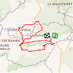

11.7 km | 19.4 km-effort


User


FREE GPS app for hiking
 SityTrail
IGN / Geographical institutes
SityTrail World
The world is yours!
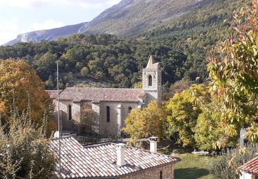
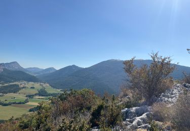
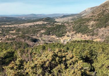
Trail Walking of 19.6 km to be discovered at Provence-Alpes-Côte d'Azur, Var, La Martre. This trail is proposed by Sugg.
Rando RF
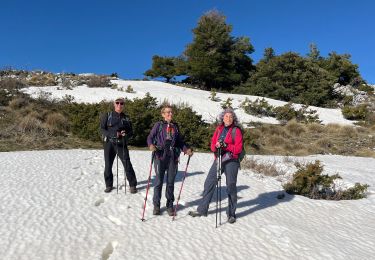
Guide : Fernand au départ de la zone picnic en 1006.
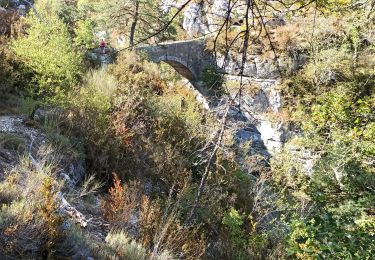
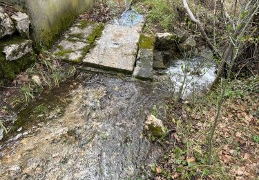
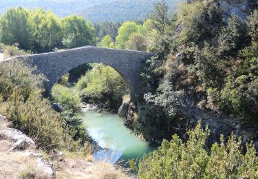
Direction La Martre par le chemin des fours à chaux, puis la boucle Nord pour revenir à Châteauvieux, puis Pont de Madame, vallon des Combes, et Pont des Passadoires.
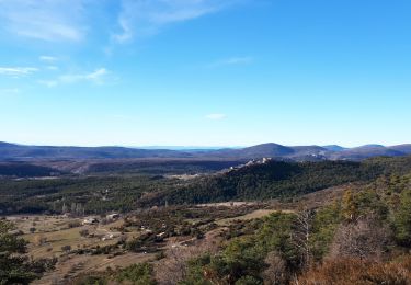
Belle journée ensoleillée, très beaux points de vue.
Walking
Walking
Walking
Walking
Walking
Walking
Walking

sport
Walking